 |
| Old Briones Road |
After a nice hike yesterday at Dublin Hills, I was ready to go again. Maureen was going to a training clinic at a ranch near Briones, and I thought I could go along with her and then do some hiking. She was going with her friend, Cherry, and when she told me that they would be leaving at 7 am, I decided to drive separately to avoid getting up so early. I took my time with breakfast and taking Darby for a walk, and I arrived at the Bear Creek Staging Area a little after 10. I didn't bring Darby this time because it was a Saturday and there would be lots of dogs on the trail (which there were).
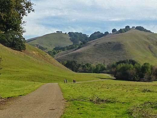
The morning had started out overcast and foggy, but by the time I started hiking, it was sunny with only some distant haze. I followed the Old Briones Road up the valley, an easy walk until it started climbing to the crest of the hills. I remember when this was an unpaved public road in the 50s, before there was a park. My family drove it several times just to see what was there. In those days it didn't take much to entertain people and a Sunday drive was a popular activity. Today, there were plenty of other people out on the trail, probably with much the same idea in mind, just spending some time outdoors. Maybe things haven't changed so much after all.
The climb to the ridge wasn't too hard, and I had plenty of energy left. At the top, I passed a group of about 15 boy scouts. They looked a bit tired, and I overheard one of the dads telling them that this was a 10 mile hike and they had only done about a third of it so far. I hope they all survived it OK.
 |
| One of Sindicich Lagoons, with Mt. Diablo nearly lost in the haze |
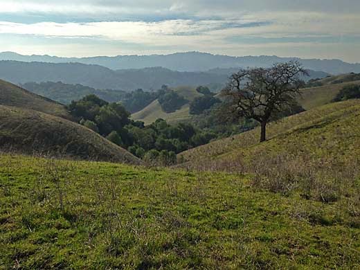
I turned left on the Briones Crest Trail and passed the two Sindicich Lagoons, weedy ponds that were partially filled from last month's rain. A couple of months ago they had been completely dry. After climbing over the shoulder of Mott Peak, the trail continued along the ridge, making a wide circle around the head of Abrigo Valley, with several mild ups and downs. There were nice views all around of distant hills. The wide trail went over a final hill and then suddenly became a narrow single-track heading quite steeply down the end of the ridge and back to the staging area.
 |
| View southwest from near the west end of the Briones Crest Trail |
The steep descent was a bit hard on my right knee, which hurts now and then from an old injury, but otherwise I was feeling pretty good. I drove over to the ranch where Maureen was having her clinic, and ate some lunch as I watched a group of riders learning some of the finer points of Cowboy Dressage.
5.5 miles, 1000 ft. climb


